
0
No products
To be determined
Shipping
$0.00
Total
This item added to your cart. Calculate any delivery cost at next step.
Quantity
Total
There are 0 items in your cart. There is 1 item in your cart.
Total products


New
National Geographic Trail Maps for Backpackers
Trails Illustrated maps from National Geographic are our long-time favorites. See full product details below.
We have thousands of maps in our retail store, and our favorite designs and formats are the Trails Illustrated versions produced by National Geographic. While not as detailed in the contours and other topography features as the 1:24000 USGS quadrangle maps, these are much better for most hikers and backpackers as generally we are following a designated trail.
The scale varies on these by area, but often in the 1:75,000 range. But trails and features of importance to hikers and backpackers are usually much better on these than on the more zoomed-in USGS maps.
We're in Arizona, so naturally we have more AZ NatGeo TI maps than for other areas, but give us enough lead time and we can get any of the roughly 250 that NatGeo makes. Just let us know if what you're looking for isn't on the dropdown list.
Couple with one of our GPS rental units for maximum navigation accuracy. Tip - set the gps coordinate format to "UTM", as all these maps include that as an option and once you get the hang of it, is the easiest way to measure distance on a map. And see this article for more detailed information on using a gps in the backcountry. We also have a few books about navigating in the backcountry GPS Made Easy and Wilderness Navigation.
The maps we carry on hand include the following, and are selectable to buy as an add-on to anything else here on our site via the dropdown above. To see the detailed coverage area for each one, the link will take you to NatGeo's detailed page for each map. Also see 100 Classic Hikes in Arizona Guide Book for some of our favorite trails out here in the West.
Arizona Areas:
224 : Organ Pipe Cactus National Monument
237 : Saguaro National Park
261 : Grand Canyon: Bright Angel Canyon, North and South Rims
262 : Grand Canyon East [Grand Canyon National Park]
263 : Grand Canyon West [Grand Canyon National Park]
850 : Mazatzal and Pine Mountain Wilderness Areas [Coconino, Prescott, and Tonto National Forests]
851 : Superstition and Four Peaks Wilderness Areas [Tonto National Forest]
852 : Hellsgate, Salome, and Sierra Ancha Wilderness Areas [Apache-Sitgreaves, Coconino, and Tonto National Forests]
853 : Salt River Canyon [Tonto National Forest]
854 : Sycamore Canyon, Verde Valley [Coconino, Kaibab, and Prescott National Forests]
855 : Mogollon Rim, Munds Mountain [Apache-Sitgreaves, Coconino, and Tonto National Forests]
856 : Flagstaff, Sedona [Coconino and Kaibab National Forests]
857 : Apache Creek, Juniper Mesa [Prescott and Kaibab National Forests]
858 : Bradshaw Mountains [Prescott National Forest]
California/Nevada Areas:
204 : Lake Mead National Recreation Area
205 : Sequoia and Kings Canyon National Parks
206 : Yosemite National Park
221 : Death Valley National Park
226 : Joshua Tree National Park
306 : Yosemite SW: Yosemite Valley and Wawona
308 : Yosemite NE: Tuolumne Meadows and Hoover Wilderness
322 : Mount Whitney
1001 : John Muir Trail Topographic Map Guide
Utah Areas:
211 : Arches National Park
213 : Glen Canyon National Recreation Area
214 : Zion National Park
219 : Bryce Canyon National Park
501 : Moab South
859 : Paria Canyon, Kanab [Vermillion Cliffs National Monument, Grand Staircase-Escalante National Monument]
10 other products are in the same category. Click here to see.
-
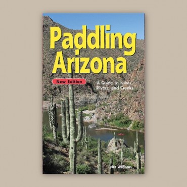
Paddling Arizona Outdoors Guide Book
-
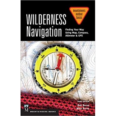
Wilderness Navigation Outdoors Guide Book
-

Outdoors Knots Guide Book
-

100 Classic Hikes in Arizona Guide Book
-
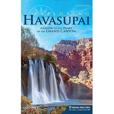
Exploring Havasupai Guide Book
-
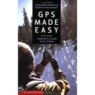
Using a GPS Guide Book
-
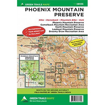
Phoenix Area Trail Maps
-
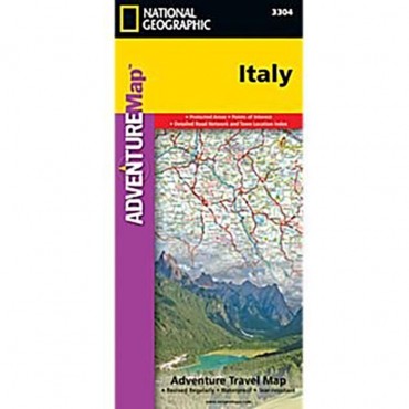
Print Maps for International Destinations (includes shipping)
-
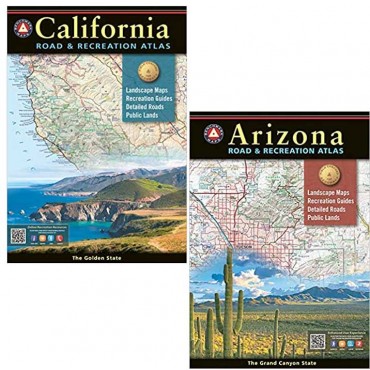
Benchmark Road and Recreation Atlas
-
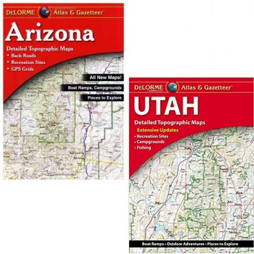
Delorme Atlas and Gazetteer