
0
No products
To be determined
Shipping
$0.00
Total
This item added to your cart. Calculate any delivery cost at next step.
Quantity
Total
There are 0 items in your cart. There is 1 item in your cart.
Total products


New
Phoenix Area Trail Maps
Great options for day hikers in the Phoenix region. See full product details below.
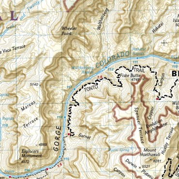
We have hundreds of area trail maps in our retail store, and the ones we have for the Phoenix local city, county and regional parks system are quite a bit better than the ones published by the government entities than manage the areas. The maps from Green Trails show the trails and topography, along with mileage and elevation changes for the trails.
The scale varies on these by area, but all within a range of 1:20,000 to 1:35,000 range. About the same as USGS topo maps, but with much better markings and mileage indicators.
Couple with one of our GPS rental units for maximum navigation accuracy. Tip - set the gps coordinate format to "UTM", as all these maps include that as an option and once you get the hang of it, is the easiest way to measure distance on a map. And see this article for more detailed information on using a gps in the backcountry. We also have a few books about navigating in the backcountry GPS Made Easy and Wilderness Navigation.
The Phoenix area trail maps maps we carry on hand include the following, and are selectable to buy as an add-on to anything else here on our site via the dropdown above. To see the detailed coverage area for each one, see the accompanying images.
Cave Creek - Spur Cross Ranch Conservation Area, Cave Creek Regional Park, parts of Tonto National Forest
Phoenix Mountain Preserve - Dreamy Draw, North Mountain, Piestawa Peak, Camelback Mountain areas
McDowells - McDowell Sonoran Preserve and McDowell Regional Park
South Mountain - South Mountain
10 other products are in the same category. Click here to see.
-
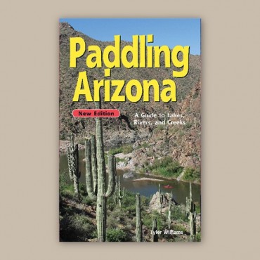
Paddling Arizona Outdoors Guide Book
-
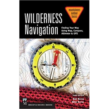
Wilderness Navigation Outdoors Guide Book
-
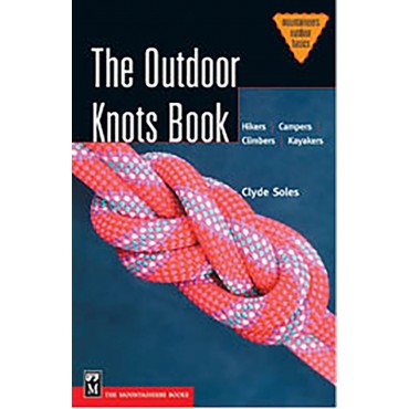
Outdoors Knots Guide Book
-
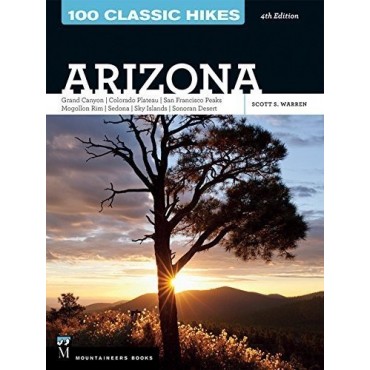
100 Classic Hikes in Arizona Guide Book
-
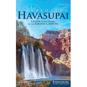
Exploring Havasupai Guide Book
-
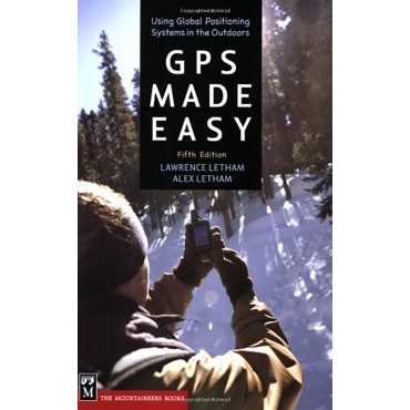
Using a GPS Guide Book
-
National Geographic Trail Maps for Backpackers
-
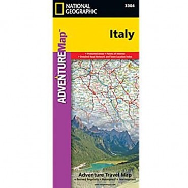
Print Maps for International Destinations (includes shipping)
-
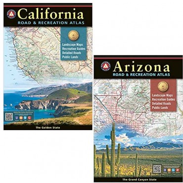
Benchmark Road and Recreation Atlas
-
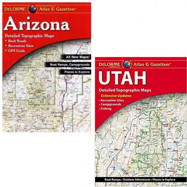
Delorme Atlas and Gazetteer