
0
No products
To be determined
Shipping
$0.00
Total
This item added to your cart. Calculate any delivery cost at next step.
Quantity
Total
There are 0 items in your cart. There is 1 item in your cart.
Total products


New
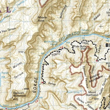
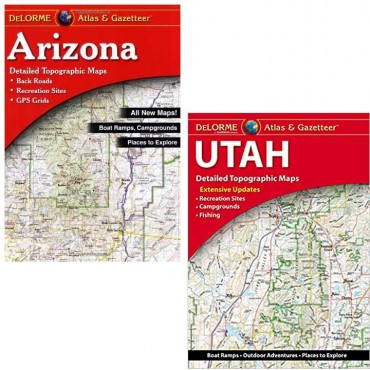
Benchmark Road and Recreation Atlas
Everyone has read the horror tales of drivers blindly following their GPS instructions into bad situations. To avoid being part of one of those stores, it's hard to beat a good paper map, and for researching your travel plans statewide, one of the best paper options is the Benchmark series of Road And Recreation Atlases.
The entire state is split into large print grids and includes a lot more than a street or road map - find details on forest roads, terrain topography, campgrounds, recreation sites, fishing info and a lot of hiking trails. the atlases are too big to carry in your pocket or backpack for a hike, but they are great for getting to the trailhead for a new area you want to explore.
At our store in Tempe, we carry the Benchmark Road and Recreation Atlas for several Southwest states along with many local and regional trail maps from National Geographic, Green Trails, and the National Forest Service. We also carry the Delorme Atlas and Gazetteer - similar content but there are pros and cons to both so it's hard to say which is "better" - frequent campers, explorers and RVers often carry both.
We usually have these easy to read atlases for Arizona and all nearby states - Utah, Nevade, New Mexico, California and Colorado.
10 other products are in the same category. Click here to see.
-
Paddling Arizona Outdoors Guide Book
-
Wilderness Navigation Outdoors Guide Book
-
Outdoors Knots Guide Book
-
100 Classic Hikes in Arizona Guide Book
-
Exploring Havasupai Guide Book
-
Using a GPS Guide Book
-
Phoenix Area Trail Maps
-
National Geographic Trail Maps for Backpackers
-
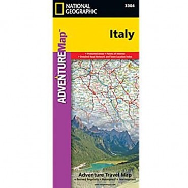
Print Maps for International Destinations (includes shipping)
-
Delorme Atlas and Gazetteer